Random Seed 100:

Random Seed 101:

Random Seed 102:

Random Seed 103:

All images used the following processes:
Surface->Point Process->Exponent (Sea Level 1300, Preserve Height: Absolute, Absolute Low: 0, Absolute High: 2000)
Texture->Lightning->Altitude (Sea Level: 1400)
Look at the Making Continental Shelves page for more information, and try to create your own world maps! If you hit on an interesting world map, send the relevant numbers to the Forum, and email me the image (compressed, please!). Eventually, we should hit on a good map that we can use as the base geography of the world...
Have fun experimenting with the program!
Back to Main
Surface->Point Process->Exponent (Sea Level 1300, Preserve Height: Absolute, Absolute Low: 0, Absolute High: 2000)
Texture->Lightning->Altitude (Sea Level: 1400)
Look at the Making Continental Shelves page for more information, and try to create your own world maps! If you hit on an interesting world map, send the relevant numbers to the Forum, and email me the image (compressed, please!). Eventually, we should hit on a good map that we can use as the base geography of the world...
Have fun experimenting with the program!
Here are several maps submitted by
Scorpio:
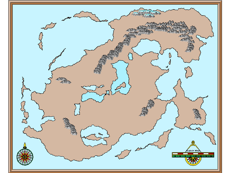
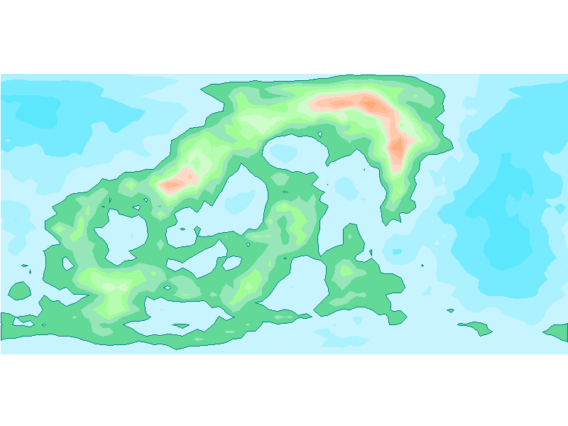
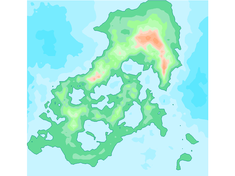
Another map I've created. This one uses the following values: Random Seed 124, H1, Lacunarity 2, Octaves 9, Offset 1, fgain 2. I've used the Exponent Point Process as above, but I've set the Exponent Sea Level at 1370, and the Altitude Sea Level at 1400.

The red box shows a possible starting area. If the planet has a circumference of approximately 25,000 miles (similar to that of Earth), then an area covering 2000 x 2000 miles will cover a length of 12% of the breadth of the picture, and 24% of the height of the picture.
Keep this in mind as you come up with your own maps!
Three more maps submitted by Scorpio:
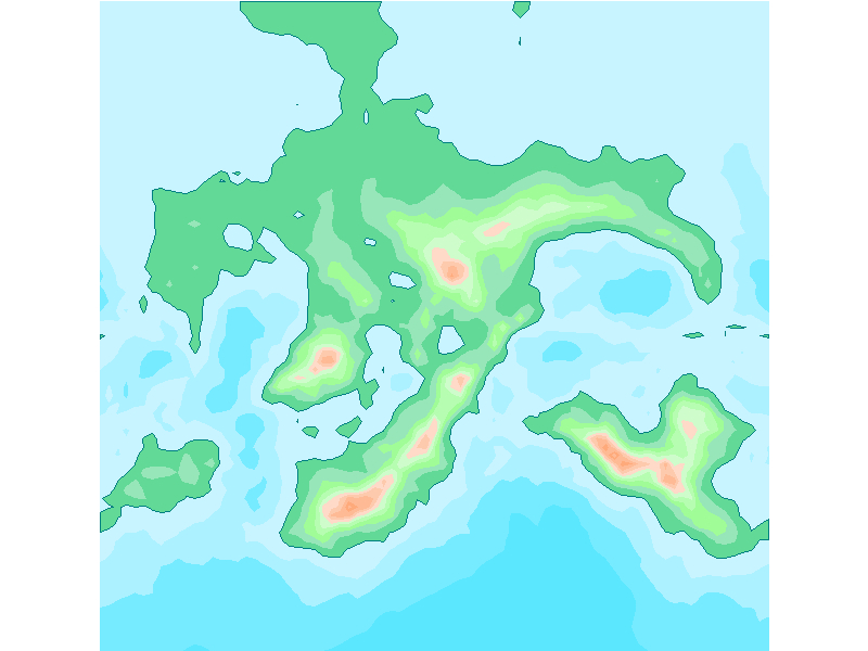
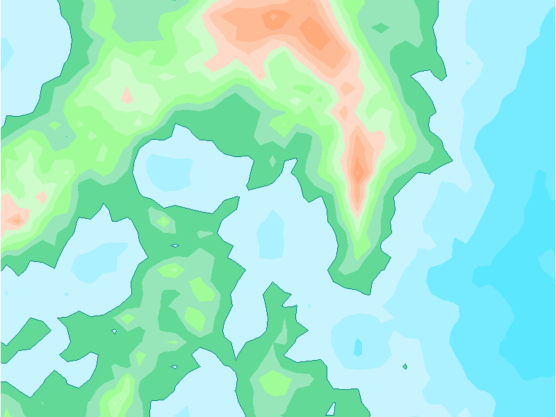
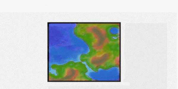
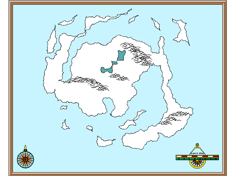
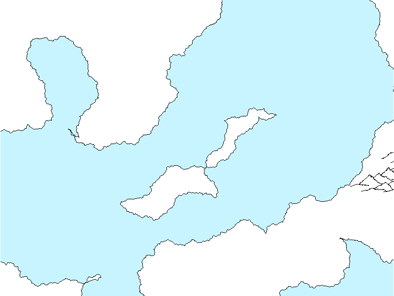
Another map I've created. This one uses the following values: Random Seed 124, H1, Lacunarity 2, Octaves 9, Offset 1, fgain 2. I've used the Exponent Point Process as above, but I've set the Exponent Sea Level at 1370, and the Altitude Sea Level at 1400.

The red box shows a possible starting area. If the planet has a circumference of approximately 25,000 miles (similar to that of Earth), then an area covering 2000 x 2000 miles will cover a length of 12% of the breadth of the picture, and 24% of the height of the picture.
Keep this in mind as you come up with your own maps!
Three more maps submitted by Scorpio:


Back to Main